
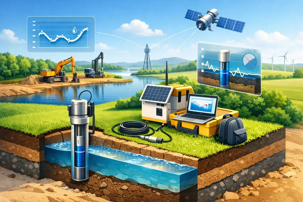
A dewatering system can appear to be performing well while groundwater is still moving towards an excavation, service trench or mine working. That is why teams need to monitor groundwater levels independently of pump run hours and visible water in the pit. Reliable level data shows whether drawdown is reaching the required area, whether the system is holding ground stable, and whether pumping can be adjusted before the project loses time.
For construction, civil and mining works, groundwater monitoring is not a paperwork exercise. It is a control measure that supports excavation safety, foundation performance, environmental compliance and cost management. The right programme is practical, site-specific and maintained from pre-start through to system shutdown.
Start with the decision the data must support
Groundwater monitoring should answer clear operational questions. Is the water table being lowered sufficiently beneath the formation level? Is drawdown extending across the full excavation footprint? Are nearby bores, waterways, structures or contaminated groundwater zones responding as expected? Is there a risk of excessive drawdown beyond the work area?
These questions determine where monitoring points sit, how frequently they are read and what level of accuracy is needed. Installing observation bores because they are convenient rather than useful often creates data that cannot guide a decision.
Before installation, review the available geotechnical investigation, bore logs, hydrogeological information and construction sequence. Ground conditions can vary significantly over a short distance, particularly in layered sands, gravels, clay lenses and weathered rock. A reading from one bore may not represent conditions at the base of an excavation 80 metres away.
The monitoring plan should identify the target drawdown, the required groundwater level relative to excavation level, baseline conditions, reporting frequency and escalation contacts. It should also distinguish between groundwater measurements and surface water observations. They are related, but they do not tell the same story.
Establish a reliable baseline before pumping
A baseline gives the project a reference point for assessing the effect of dewatering. Where the programme allows, measure standing water levels across several days before pumps start. This can reveal tidal influence, rainfall recharge, nearby pumping effects or natural daily variation.
Each monitoring point needs a surveyed reference level, typically the top of casing, tied to the project datum. Without this, readings taken at different bores cannot be compared meaningfully. Depth-to-water measurements alone are useful for a quick field check, but reduced water levels against a common datum are what allow engineers and supervisors to understand groundwater gradients and drawdown across the site.
Record the bore construction as well. Screen depth, casing diameter, total depth and the geological unit screened affect the result. A bore screened over multiple aquifers may show a blended pressure response rather than the level in the zone influencing the excavation. In more complex conditions, nested piezometers or separate monitoring points at different depths may be necessary.
Baseline information should include recent rainfall, nearby construction activity and any active third-party abstraction known to the project. It does not need to become an academic study. It needs to be sufficient to separate real site changes from normal variation.
Select monitoring points that reflect the work
The number and position of bores depends on the size of the works, geology, environmental conditions and project risk. A small, shallow trench in uniform ground may need only a limited set of points. A deep basement, major pipeline crossing, mine excavation or site near sensitive receptors generally needs a broader network.
Monitoring points are commonly placed within or immediately adjacent to the dewatering zone, at the boundaries of the expected drawdown area, and between the works and any sensitive receptor. Receptors may include existing buildings, roads, rail corridors, underground services, wetlands, waterways or areas with known groundwater contamination.
Install bores where they can be safely accessed throughout the programme. A bore that becomes buried beneath stockpiles, sits inside an exclusion zone or is repeatedly damaged by plant is of little value. Protective covers, clear identification and inclusion in site traffic planning are basic but essential controls.
For Western Australian and Queensland projects, local ground conditions and seasonal rainfall patterns must be considered. In coastal sands, for example, groundwater can respond quickly to pumping and rainfall. In lower-permeability soils, recovery and drawdown may be slower, making trend data more valuable than a single reading.
Use the right method to monitor groundwater levels
A manual electric water level meter remains one of the most dependable tools for routine checks. The probe gives an audible or visual signal at the water surface, and the tape is read from a defined measuring point on the casing. Used consistently, it provides accurate, defensible data at relatively low cost.
Manual readings suit short-duration works, verification checks and sites where conditions change gradually. They also give field personnel a chance to inspect the bore condition, confirm the casing is intact and identify obvious issues such as siltation or blockage.
For high-risk, deep or rapidly changing sites, pressure transducers with data loggers provide a more complete picture. They can record water level at set intervals, allowing the project team to see responses to pump starts, shutdowns, rainfall and changing tides. Telemetry can add value where timely alarms or remote oversight are required, but it does not remove the need for site verification. A sensor can drift, foul or be damaged, and its readings should be checked against manual measurements at planned intervals.
Flow meters, pump run-time records and discharge water-quality data should sit alongside groundwater levels. A high discharge rate does not automatically mean effective drawdown. It may indicate that water is being recirculated, that a well is drawing from an unintended zone, or that the system is working hard without controlling the critical groundwater pressure beneath the excavation.
Set trigger levels before conditions deteriorate
Monitoring becomes useful when it is linked to defined actions. Trigger levels should be established with the project engineer or hydrogeologist and should reflect the excavation design, ground conditions and neighbouring assets.
A typical framework uses an alert level, an action level and a stop-work or escalation level. An alert may require increased reading frequency and an inspection of pumps, headers, wellpoints or wells. An action level may require additional pumping capacity, changes to the system layout or a review of the excavation sequence. A critical level may require work to pause until the ground and water control strategy is reassessed.
The trigger is not always a groundwater rise. Excessive drawdown can also matter, particularly near structures susceptible to settlement, sensitive ecosystems or groundwater users. This is why the monitoring plan needs upper and lower limits where relevant.
Avoid setting triggers that are so close to the design limit that there is no time to respond. Pumps can fail, power can be interrupted and rainfall can change site conditions quickly. A workable trigger provides enough warning to intervene before safety, programme or compliance is compromised.
Turn readings into operational reporting
A clear record is more useful than a stack of isolated field sheets. At a minimum, each entry should show the bore identification, date and time, measuring point, depth-to-water or reduced level, instrument used, person taking the reading and any relevant site observations.
Plotting water levels over time makes trends visible. When levels are presented with rainfall, pumping rates, excavation depth and key construction events, the cause of a change is often easier to identify. A sudden rise at several bores could indicate a pump issue or rainfall recharge. A rise at one location may point to a local wellpoint blockage, changing geology or a monitoring bore problem.
Reports should be proportionate to the project. Daily operational dashboards can suit active deep excavations. Weekly summaries may be adequate for stable, lower-risk works. In either case, exceptions need prompt communication, not a note buried in the next reporting cycle.
Maintain the system that supports the measurement
Monitoring bores and instruments need routine care. Check that casings remain secure, caps are fitted, measuring points are clearly marked and boreheads are protected from traffic and contamination. Clean water level meter probes between bores where water quality or contamination is a concern, and follow the project’s environmental and sampling procedures.
Data quality also depends on consistent technique. Use the same measuring point, lower the probe steadily, allow water levels to recover after any disturbance, and document anything unusual. If a reading does not fit the trend, repeat it before making a major operational decision. A questionable result may be an early warning, but it may also be a kinked tape, a damaged probe or a partially blocked bore.
Effective groundwater control relies on visibility. When monitoring is planned around real site decisions, maintained with discipline and acted on quickly, it gives the project team the confidence to keep excavations moving while protecting people, ground conditions and the surrounding environment.